Clarkston Village Historic District
Historic Photo from NRHP Filing
Clarkston Village Historic District — historic photograph, National Register of Historic Places filing, MI 15, Clarkston Village, Detroit
National Register of Historic Places Filing
In the early 1800s, the completion of the Erie Canal across upstate New York led to a great increase in settlement in Michigan. Within a few years natives of New York and New England were homesteading the southeastern part of the state. Oakland County was one of the first areas of settlement for the immigrants disembarking at Detroit. The first settlers arrived in Independence Township in the early 1830s.
The town of Clarkston did not come into being until about 1838 when a dam was constructed across the Clinton River and the waterways improved to provide a dependable source of power for a grist mill. Houses and several commercial enterprises including a store, a tavern, a shoemaker’s shop, a blacksmith shop, and a tailor shop began to appear in the vicinity of the mill after its completion in 1839. The increasing settlement encouraged Jeremiah and Nelson Clark, the brothers who had built the mill, to plat a tract of their land into the village of Clarkston in 1842. Additions were made to this plat in the 1850s.
The small village flourished with the establishment of more small scale manufacturing enterprises.
Physical Description
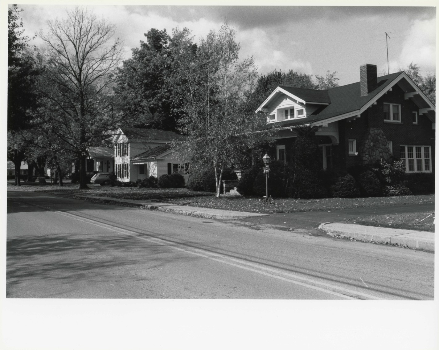
Clarkston is located on Interstate highway I-75 about eight miles northwest of downtown Pontiac in central Oakland County. It is situated amidst rolling terrain on the Clinton River between several small lakes. The village is divided in half by the mill pond that was created in the 1830s by damming the Clinton River. The major portion of the town, including the principle residential area and the business district, is located on the east side of the mill pond on highway M-15, which is Main Street in the village.
The town is typical of Michigan’s mill villages in that it is informally laid out in a straggling line along one major road paralleling the mill pond, Main Street, with a few short side streets. The streets convey a rural ambience with their tree canopy and frequent lack of such urban amenities as curbs and sidewalks. In parts of Clarkston, the lawns still extend to the dirt shoulders at the edge of the paving. The houses are situated at varying distances back from the road adding to the visual diversity of the streetscapes.
The buildings of Clarkston accurately convey a record of the growth and character of this small rural mill village from its founding in the 1840s until 1930.
Architect/Builder
Various
NRHP Ref# 80001884 • Data from National Park Service • Content available under CC BY-SA 4.0
Historic Photos
(6)Sourced from the National Register of Historic Places filing
Clarkston Village Historic District—Clarkston Village Historic District — historic photograph, National Register of Historic Places filing, MI 15, Clarkston Village, Detroit
Public Domain (Michigan filing for National Register of Historic Places)
Building Details
- Address
- MI 15, Clarkston Village
- National Register
- Listed
- Ref# 80001884