Eastern Market Historic District (Boundary Increase)
Historic Photo from NRHP Filing
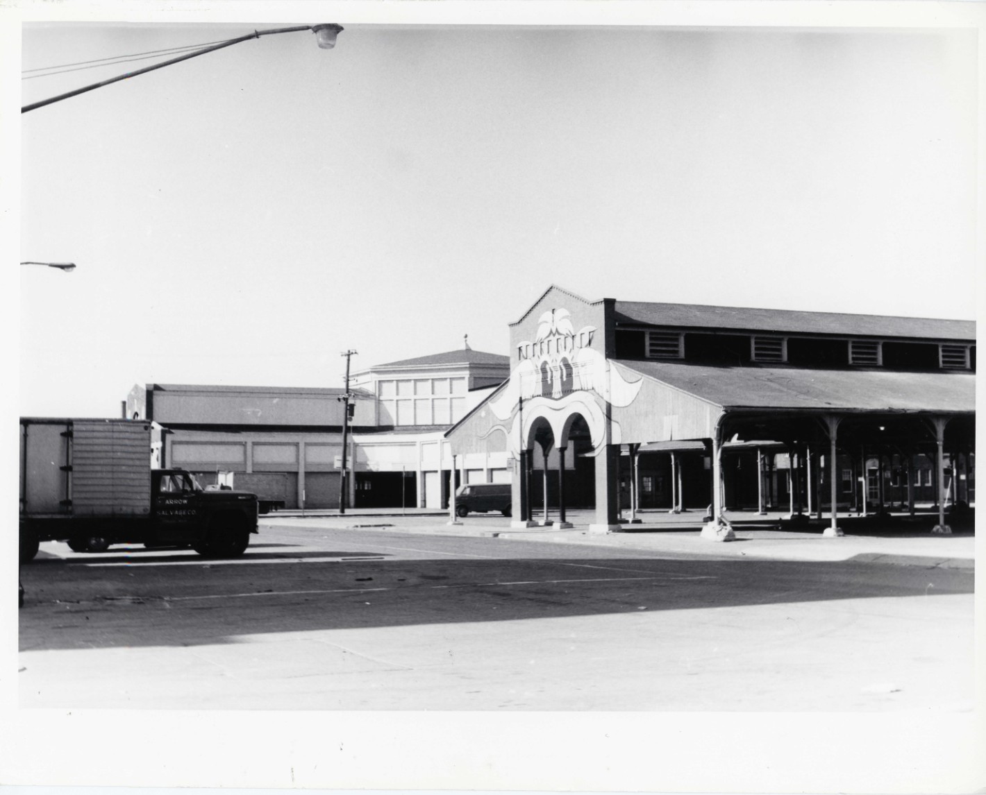
IF DISTRICT. GIVE BUILDING NAME & STREET PHOTO NO. Retail Sheds -Looking East 1 Eastern Market Historic District Detroit, Mich. Photo no 1
National Register of Historic Places Filing
The Eastern Market Historic District is significant for its role as a major center of commerce and food distribution in Detroit. The district's history reflects the growth and development of Detroit as a major industrial city, with Eastern Market serving as a hub for the distribution of food products to the city and surrounding areas. The market's location near major transportation routes, including rail lines and highways, facilitated its growth and importance.
The district's architecture is also significant, with buildings that reflect the commercial and industrial styles of the late 19th and early 20th centuries. The district includes a variety of building types, including warehouses, cold storage facilities, meatpacking plants, and breweries, which illustrate the diverse functions and operations that have historically taken place in the market. The architecture of the district is characterized by its utilitarian design, with buildings constructed primarily of brick and featuring large loading docks and distribution doors.
The Eastern Market Historic District is also significant for its association with the development of Detroit's food industry. The district has been home to numerous food-related businesses, including meatpacking plants, breweries, and produce commission houses, which have played a vital role in the city's economy. The district's history is closely tied to the growth of Detroit as a major industrial center, and its continued operation as a market reflects the enduring importance of food distribution in the city.
Overall, the Eastern Market Historic District is significant for its role in the commercial and industrial history of Detroit, its architectural character, and its association with the city's food industry. The district's expansion to include additional resources further enhances its significance by incorporating a broader range of buildings and structures that contribute to its historical and architectural character.
Physical Description
This nomination is a boundary increase for the existing Eastern Market Historic District that will add a total of eighty-six resources, seventy-six of them contributing, to the district on its east and south sides. The existing Eastern Market Historic District encompasses a small, concentrated six-block area in the heart of the greater market area that includes the historic market sheds and the wholesale/retail operations surrounding them. Also included in the existing district are the commercial buildings on the south side of the Fisher Freeway (I-75) in the triangular block bounded by East Vernor Highway on the north, Russell on the west, and the north side of the Gratiot Avenue (M-3) streetscape on the southeast. The boundary increase would add sixteen buildings on the southeast side of Gratiot Avenue between Russell and Jay streets, and sixty-eight buildings (with additions) and two bridges east and northeast of the existing district, thereby adding more food distribution and processing facilities built between 1868 and 1955.
The area of the boundary increase almost triples the size of the existing historic district, and is roughly bounded by the east side of Riopelle on the west, Brewster and Wilkins on the north, the Grand Trunk Railroad tracks and St. Aubin on the east, and the southeast side of Gratiot Avenue on the south.
Architect/Builder
Mason & Rice; Henry Carew
NRHP Ref# 06001330 • Data from National Park Service • Content available under CC BY-SA 4.0
Historic Photos
(46)Sourced from the National Register of Historic Places filing
Eastern Market Historic District (Boundary Increase)—IF DISTRICT. GIVE BUILDING NAME & STREET PHOTO NO. Retail Sheds -Looking East 1 Eastern Market Historic District Detroit, Mich. Photo no 1
Public Domain (Michigan Filing)
Building Details
- Architect
- Smith, Hinchman, and Grylls; Richard E. Raseman; John Scott and Company
- Building Type
- Historic District
- National Register
- Listed
- Ref# 06001330

