Franklin Historic District
Historic Photo from NRHP Filing
Franklin Historic District — historic photograph, National Register of Historic Places filing, Detroit
National Register of Historic Places Filing
The Franklin Historic District was listed in the National Register of Historic Places in 1969 and was Michigan's first national register district. The nomination form prepared then provided a three-paragraph long description statement and a two-paragraph significance statement. The State Historic Preservation Office's files contain two different boundary descriptions that are vague and contradictory, and the only map lacks detail and does not show the boundary as defined. This new nomination resulted from a Memorandum of Agreement (MOA) for a federally assisted project involving the reconstruction of Franklin Road, which passes through the district.
A stipulation in the MOA required the village of Franklin to provide a new national register nomination form for the district. This nomination form accomplishes three goals: It replaces the outdated 1969 nomination form with a new one meeting today's national register documentation standards. It provides a detailed boundary description and map; and It includes a small boundary increase to expand the district slightly to include historic resources that were omitted, or not clearly included, in the original boundary, and also some additional property that is an integral part of the village.
Physical Description
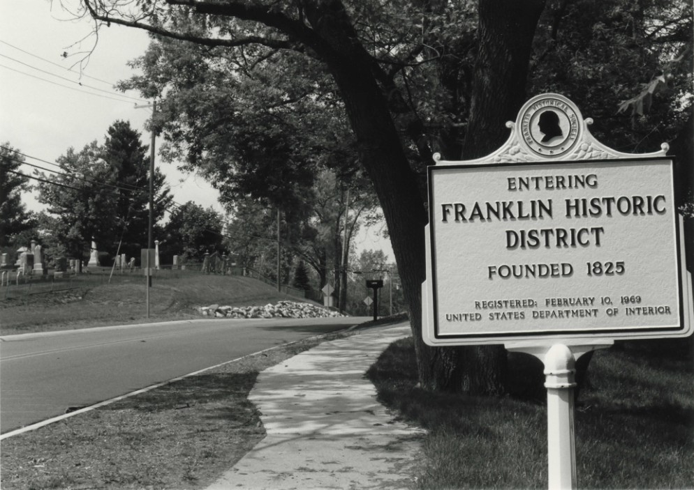
The Franklin Historic District comprises the pioneer era-crossroads settlement of Franklin, located primarily along a short north-south stretch of Franklin Road between an early mill and cemetery. The historic district with its narrow, shady streets contains about 150 buildings and structures, two-thirds of them considered contributing. Franklin was first settled by Euro-Americans in 1824. Though established in the now densely developed heart of Oakland County, the Village of Franklin remains a simple, pastoral oasis, called affectionately by its residents, 'the town that time forgot.' Modern day Franklin retains a grocery store, a cider mill and many domestic structures dating from the nineteenth century.
Residences and businesses are mixed together, and several vintage homes now house commercial establishments. The intimate scale of the village proper brings all points within easy walking distance. The founders of Franklin chose the site because of its proximity to the Franklin River, an outlet of Walnut Lake and a tributary of the Rouge River system. Over the years, the Franklin River powered several different types of mills in the village.
Franklin Road bisects the village from Fourteen Mile Road to the village border, one and one half miles to the south. The road is a relatively narrow two-lane paved roadway. Most of the shoulders on Franklin Road have been left without curbs or gutters, and mature trees and plantings close to the road have been maintained, preserving its informal character. Entering the historic district from the south, Franklin Road cuts through a hilltop adjacent to the cemetery, and a view of the village opens below, in a gentle valley.
The road then quickly descends north, through the heart of the village to just beyond Fourteen Mile Road. The entire village is blessed with a multitude of both evergreen and deciduous trees and shrubs, which adds to the illusion of stepping back in time. Narrow road widths have been preserved throughout the historic district, and large mature trees create a lush canopy above. The landscaping of many of the individual properties also contributes to the character of the district.
Stone posts flanking driveways and front walkways, as well as picket, stone and wrought iron fences add to the ambiance of the district. There are no buildings taller than three stories, enhancing the view of the architecture, the landscape, and the valley. Franklin Road, the main thoroughfare, has a maximum speed limit of twenty-five miles per hour. This moderate speed allows both pedestrians and vehicular traffic to experience the historic district in a more meaningful way.
There are ninety-four contributing buildings, sites, and structures and fifty-seven that are non-contributing in the historic district. A single complex, the Ravines Condominiums, a series of connected housing units and garages built in 1972, account for twenty-six of the non-contributing buildings.
NRHP Ref# 05000736 • Data from National Park Service • Content available under CC BY-SA 4.0
Historic Photos
(42)Sourced from the National Register of Historic Places filing
Franklin Historic District—Franklin Historic District — historic photograph, National Register of Historic Places filing, Detroit
Public Domain (Michigan Filing)
Building Details
- Building Type
- Historic District
- National Register
- Listed
- Ref# 05000736