Rosedale Park Historic District (Additional Documentation)
Historic Photo from NRHP Filing
National Register of Historic Places Filing
Physical Description
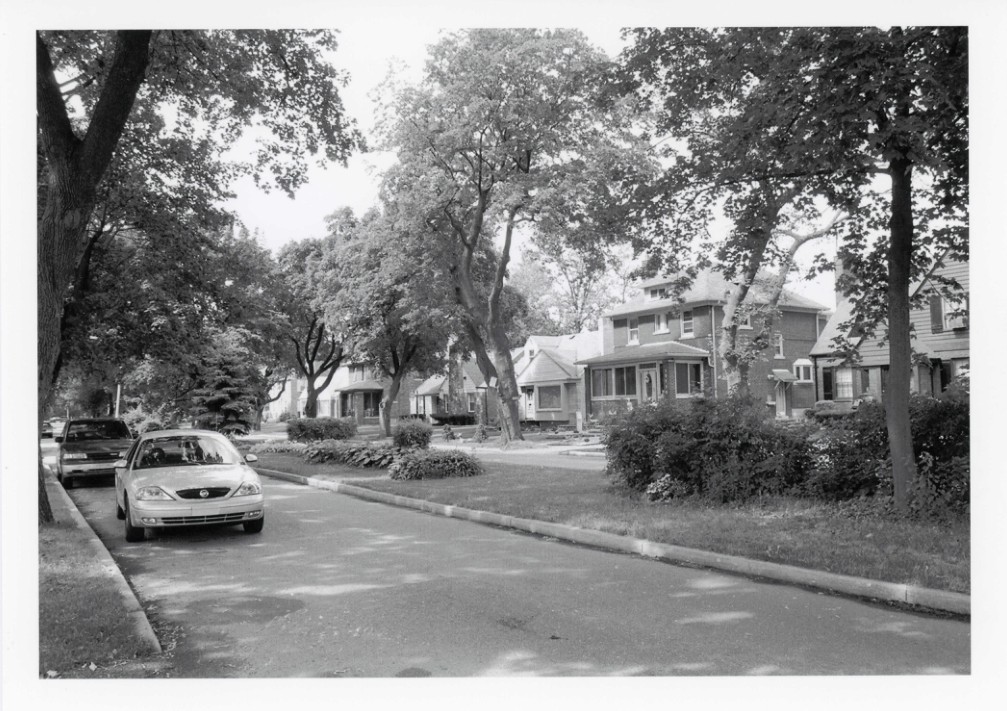
Rosedale Park, located approximately twelve miles west of downtown Detroit, was developed in the early twentieth century as a streetcar and automobile suburb. Situated south and west of the corner of Grand River Avenue and the Southfield Freeway and covering over 340 acres, Rosedale Park with its stately homes, tree-lined streets, and proximity to the countryside attracted an elite group of residents. The buildings in this district are primarily residential in use, exhibit a wide range of architectural styles, and range from one to two-and-one-half stories in height. Rosedale Park's building stock presents a variety of architectural styles and patterns, but maintains a shared rhythm and cadence of residential construction with uniform setbacks and tree-filled medians between sidewalks and streets.
Architect/Builder
Albert Kahn
NRHP Ref# 06000587 • Data from National Park Service • Content available under CC BY-SA 4.0
Historic Photos
(16)Sourced from the National Register of Historic Places filing
Rosedale Park Historic District (Additional Documentation)—historic photograph from the National Register of Historic Places filing
Public Domain (Michigan Filing)
Building Details
- Architect
- Albert Kahn
- Address
- Roughly bounded by Fenkell St., Outer Dr. West, Grand River Ave., Southfield Frwy., Glastonbury Ave., Lyndon St., Westwood Dr., Detroit
- National Register
- Listed
- Ref# 06000587
